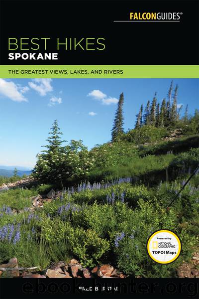
Best Hikes Spokane by Fred Barstad

Author:Fred Barstad
Language: eng
Format: epub
ISBN: 9781493029778
Publisher: Falcon Guides
Published: 2018-02-06T05:00:00+00:00
26Mount Coeur d’Alene
Make the fairly strenuous climb up Caribou Ridge on the Caribou Ridge National Recreation Trail, passing several viewpoints along the way, before reaching the Mount Coeur d’Alene Picnic Area and Trailhead. You then climb another 0.8 mile on the Mount Coeur d’Alene Trail through the mountain forest to a cabin at the summit of Mount Coeur d’Alene. The lower 2.6 miles of this trail is generally rougher, rockier, narrower, and steeper than is the rest of the course.
Start: Beauty Creek Campground and Trailhead
Distance: 10.9-mile out-and-back day hike or backpack
Hiking time: About 6 to 7.5 hours
Difficulty: Strenuous
Best seasons: Summer and early fall
Canine compatibility / other trail users: Dogs are permitted but must be under control. The route is open to hikers only up to the junction with Trail 227 (5.1 miles from the Beauty Creek Trailhead and 0.5 mile from the Mount Coeur d’Alene Picnic Area and Trailhead). Above there, horses are allowed, as are 2-wheeled vehicles at certain times of the year.
Fees and permits: None
Maps: Coeur d’Alene Mountain USGS quad covers the area. OnXmaps and the National Geographic Idaho topo on CD-ROM cover the area but show this trail somewhat inaccurately, as does the USDA Forest Service Idaho Pan-handle / Coeur d’Alene National Forest Map. The Forest Service map is very small-scale and not very good as a hiking map.
Trail contact: USDA Forest Service, Idaho Panhandle National Forests, Coeur d’Alene River Ranger District, Fernan Office, 2502 E. Sherman Ave., Coeur d’Alene, ID 83814; (208) 664-2318
Special considerations: There is some exposure in places, so children must be kept well under control. There is no water available except at the Beauty Creek Campground and the Mount Coeur d’Alene Picnic Area and Trailhead.
Finding the trailhead: From Coeur d’Alene, drive east on I-90 for 10 miles to exit 22. Take the exit, then head south and west on SH 97 for 2.4 miles to FR 438. Turn left on FR 438 and go 0.6 mile southeast to the Beauty Creek Campground and Trailhead. The trailhead is on your right just as you enter the campground. There is limited parking at the trailhead. Restrooms and drinking water are available in the campground during the summer season. The elevation at the trailhead is 2,160 feet. GPS: N47 36.447' / W116 40.173'
Download
This site does not store any files on its server. We only index and link to content provided by other sites. Please contact the content providers to delete copyright contents if any and email us, we'll remove relevant links or contents immediately.
In a Sunburned Country by Bill Bryson(3526)
Annapurna by Maurice Herzog(3458)
How to Read Nature by Tristan Gooley(3318)
Dangerous Girls by Haas Abigail(3021)
SAS Survival Handbook by John 'Lofty' Wiseman(2709)
The Lost Art of Reading Nature's Signs by Tristan Gooley(2673)
In the Woods by Tana French(2579)
The Stranger in the Woods by Michael Finkel(2511)
Food and Water in an Emergency by Food & Water In An Emergency(2387)
Guns, Germs and Steel by Diamond Jared(2353)
Everest the Cruel Way by Joe Tasker(2327)
Wild: From Lost to Found on the Pacific Crest Trail by Cheryl Strayed(2246)
Backpacker the Complete Guide to Backpacking by Backpacker Magazine(2233)
Sea Survival Handbook by Keith Colwell(2230)
Trail Magic by Trevelyan Quest Edwards & Hazel Edwards(2170)
Ultimate Navigation Manual by Lyle Brotherton(2154)
Welcome to the Goddamn Ice Cube by Blair Braverman(2035)
Birds of the Pacific Northwest by Shewey John; Blount Tim;(1959)
The Last Flight by Julie Clark(1943)
